San Bernardino Optimal Basin Management
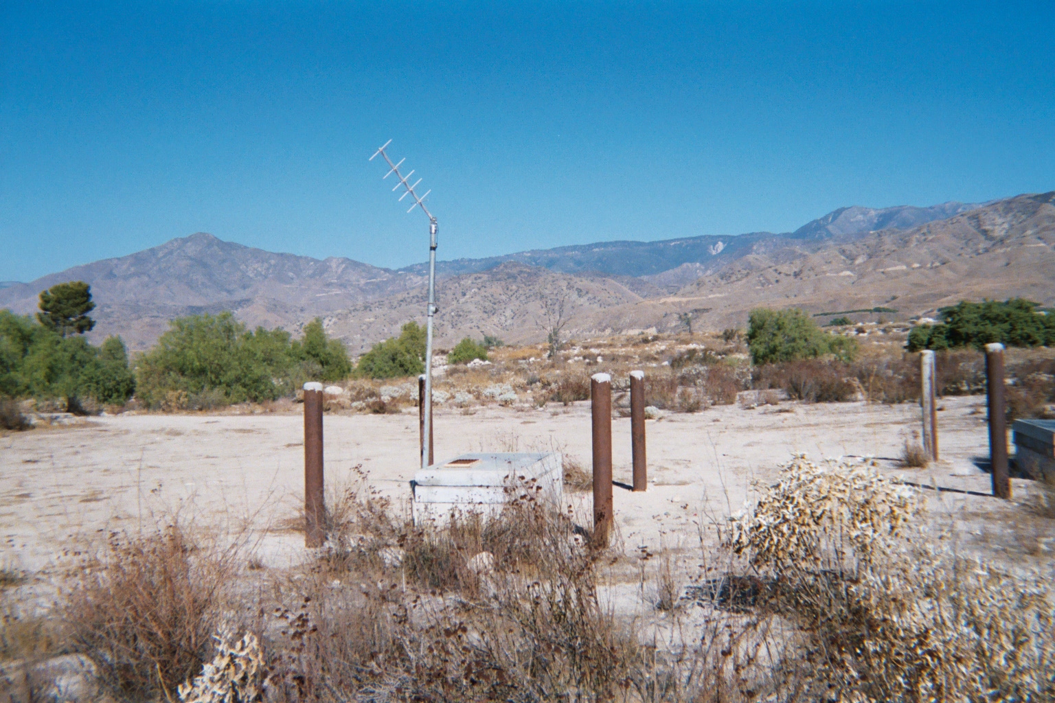
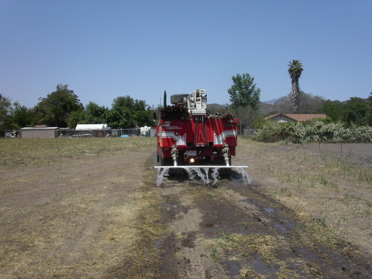
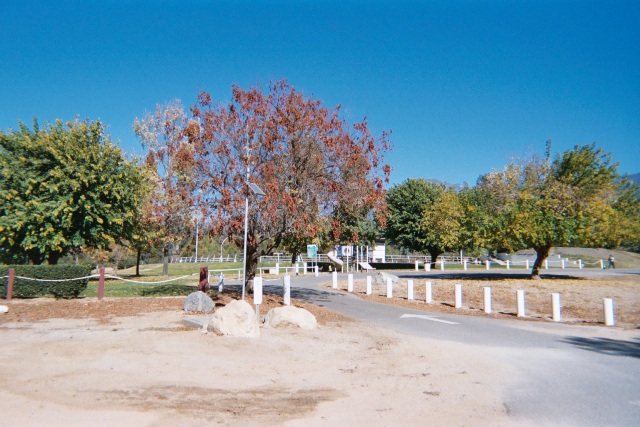
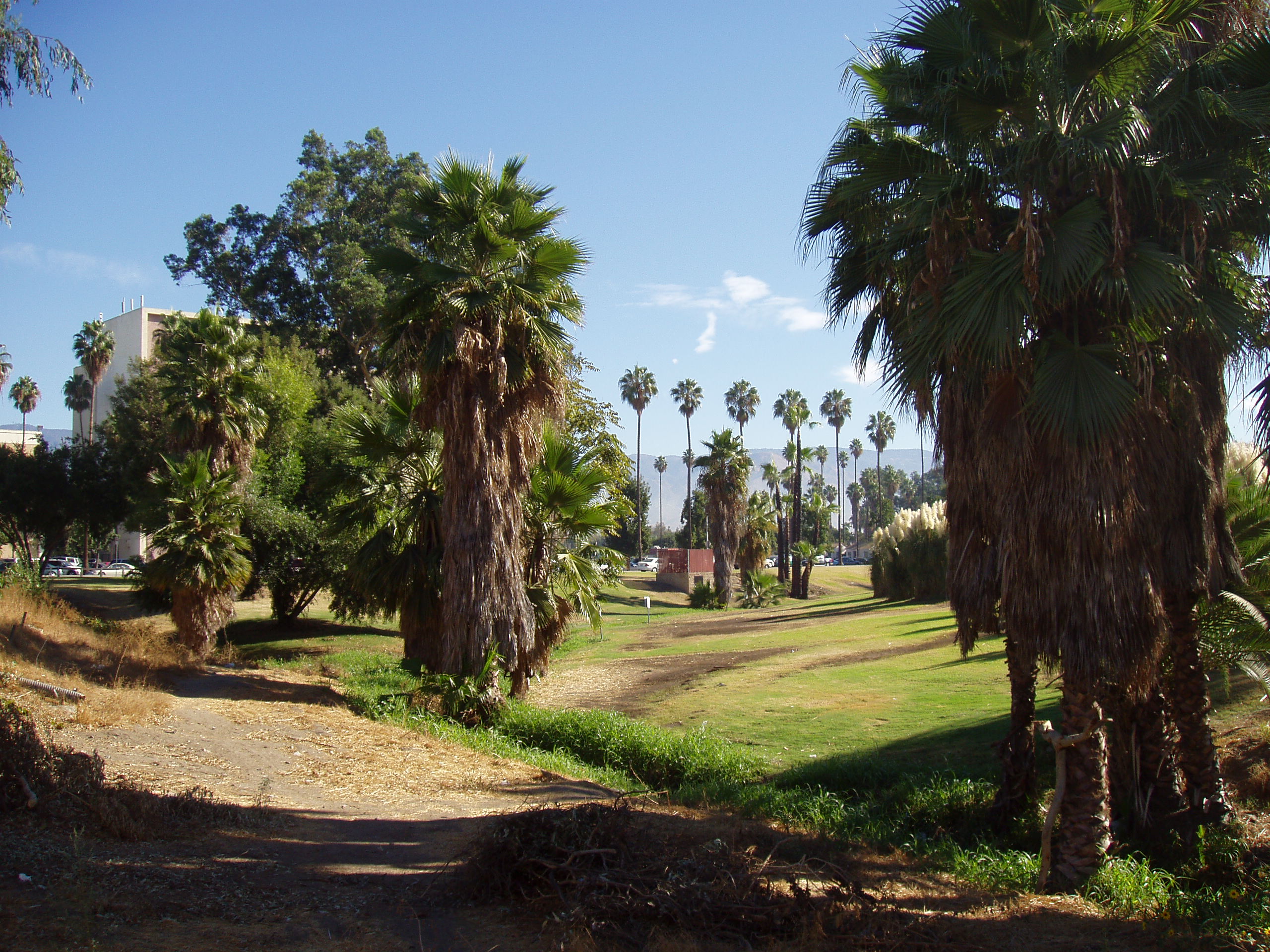
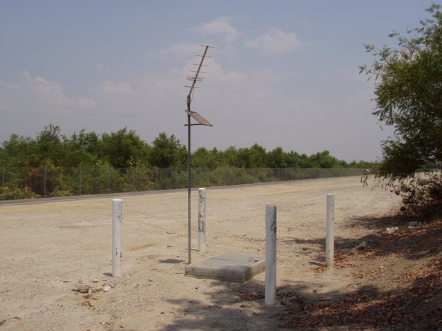
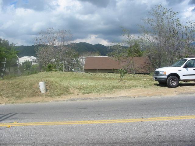
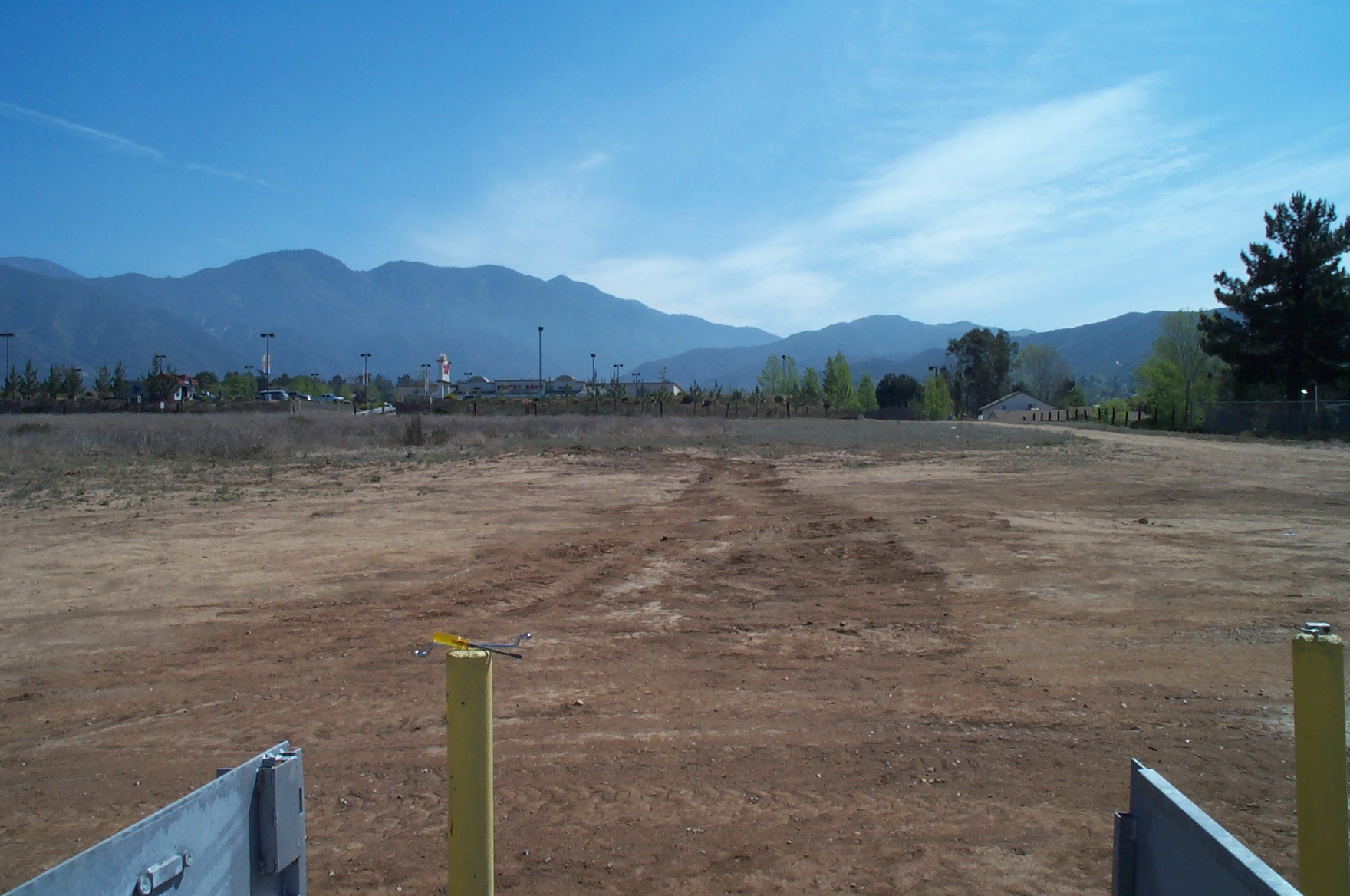
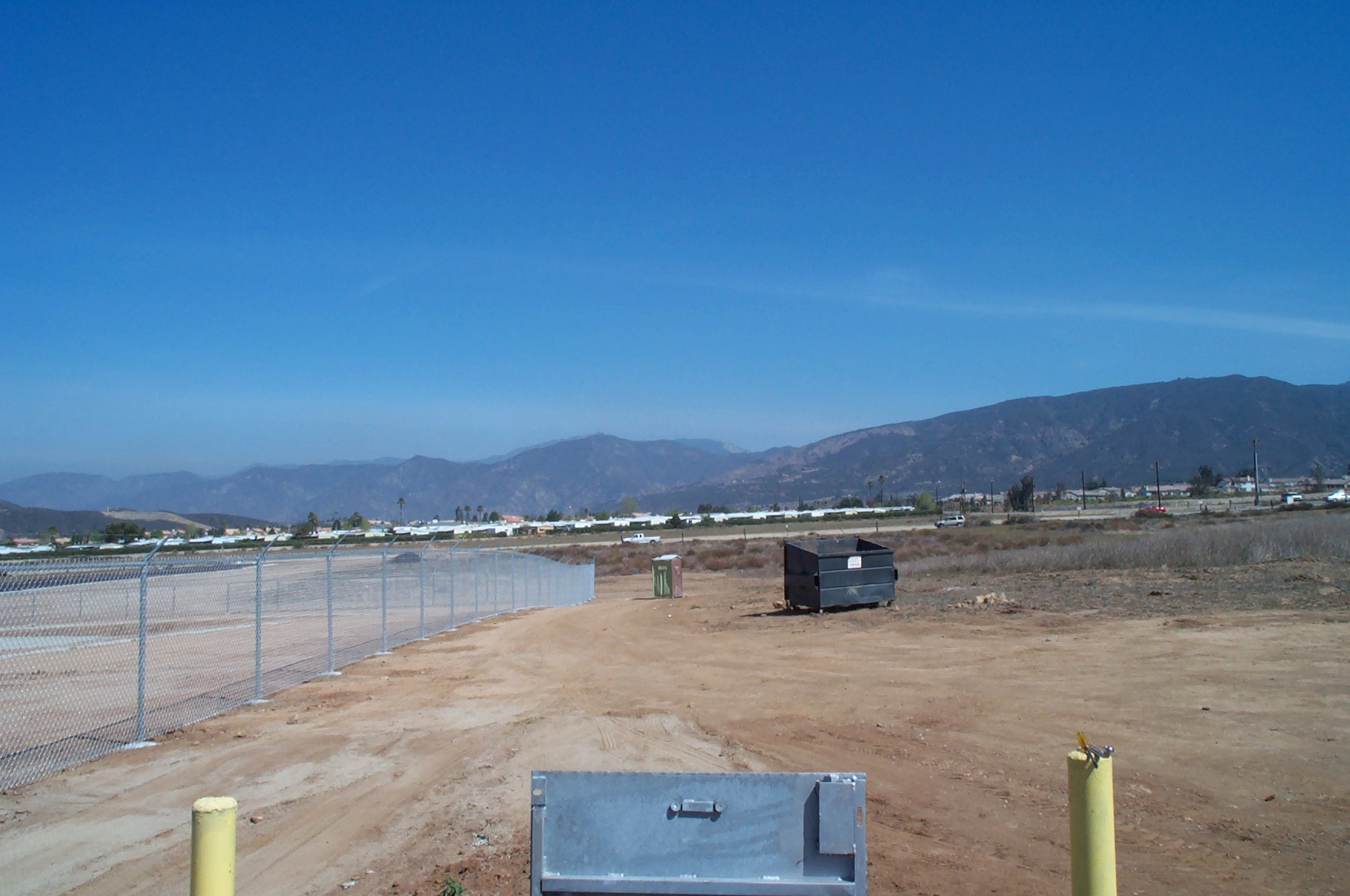
Area Photos
Click on photo for a larger view

San Bernardino Optimal Basin Management
Welcome to the U.S. Geological Survey (USGS) San Bernardino Optimal Basin Management website. This site provides hydrologic data collected or compiled by the USGS in the San Bernardino area; some additional data may be available from the USGS database National Water Information System (NWIS).
Project Chief: Wes Danskin
Phone: 619-225-6132
Email: wdanskin@usgs.gov
Questions about Optimal Basin Management? Please contact Wes Danskin (email: wdanskin@usgs.gov or send a letter). 619.225.6132