
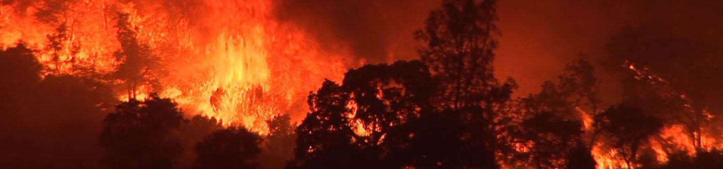
Wildfires and Water
In California, where prolonged drought and warmer climates have increased the prevalence, severity, and duration of wildfires, the threat of wildfire is no longer restricted to a single season, but rather a year-round hazard. Wildfires pose considerable risks to water quality and quantity, which in turn affect water supplies, fisheries, and aquatic habitats. The U.S. Geological Survey studies the effects past, current, and future wildfires have upon California's water resources.
Water Quality
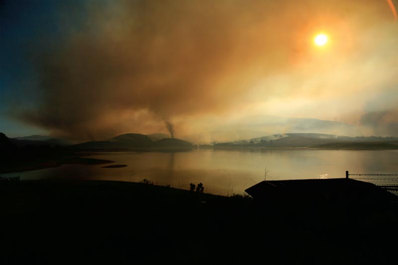
Wildfires can compromise water quality both during active burning and for months and years after the fire has been contained or extinguished. Burned watersheds are prone to increased flooding and erosion, which can negatively affect water-supply reservoirs, water quality, and drinking-water treatment processes.

Flooding & Debris Flow
Fast-moving, highly destructive debris flows triggered by intense or prolonged rainfall are one of the most dangerous post-fire hazards. The risk of floods and debris flows after fires increases due to vegetation loss and soil exposure.

Climate & Wildfires
While the conditions that contribute to the intensity, size, and duration of wildfires are complex, scientist have found a relationship between climate and wildfire.

Wildfire Map
The USGS maintains maps and satellite imagery to monitor current wildfire extent and behavior. Explore an interactive USGS map to learn more about areas in California affected by wildfires.