San Bernardino Optimal Basin Management
Recent Activity
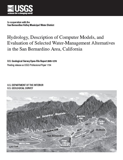
The San Bernardino area of southern California has complex water-management issues. As an aid to local water managers, this report provides an integrated analysis of the surface-water and ground-water systems, documents ground-water flow and constrained optimization models, and provides seven examples using the models to better understand and manage water resources of the area. As an aid to investigators and water managers in other areas, this report provides an expanded description of constrained optimization techniques and how to use them to better understand the local hydrogeology and to evaluate inter-related water-management problems.
Previous Hot Topics
The Water Resources Institute hosted a lecture by Wesley R. Danskin of the USGS about the hydrology and water management alternatives for the San Bernardino area (defined as the Bunker Hill and Lytle Creek basins) for calendar years 1945-1998. link
Visual animations now available. link
San Bernardino Optimal Basin Management
Welcome to the U.S. Geological Survey (USGS) San Bernardino Optimal Basin Management website. This site provides hydrologic data collected or compiled by the USGS in the San Bernardino area; some additional data may be available from the USGS database National Water Information System (NWIS).
Project Chief: Wes Danskin
Phone: 619-225-6132
Email: wdanskin@usgs.gov
Questions about Optimal Basin Management? Please contact Wes Danskin (email: wdanskin@usgs.gov or send a letter). 619.225.6132