Regional Hydrology

Regional Hydrology Research Team

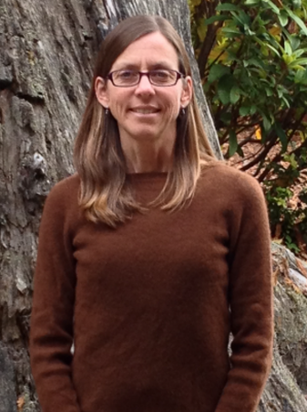
Lorraine E Flint
Ph.D. Research hydrologist
916-278-3223 lflint@usgs.gov
Current research involves downscaling future climate projections to ecologically relevant scales (1-km to 30-m) for use in to a regional scale hydrologic model to evaluate the hydrologic response to climate change. Projects are being conducted throughout the western US, South and Central America for analyses of water availability, flow and transport, snowmelt processes, and ecosystem change. Activities include the development of climate and hydrology surfaces for 1900-2100 and scientific guidance with regard to the impacts of current and future climates on ecology and hydrology.

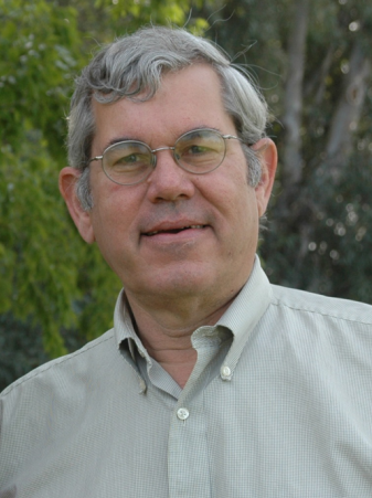
Alan L Flint
Ph.D. Research hydrologist
916-278-3221 aflint@usgs.gov
Current research involves refining and applying the Basin Characterization Model to provide hydrologic response to climate change. As part of this research a method of downscaling precipitation and air temperature was developed to produce maps at fine scale (1-km to 30-m) that better reflect the influence of variable topography typical downscaled GCMs (<e;12-km). Goals and objectives are to provide fine scale analysis of climate change and hydrologic response to hydrologists, biologists, ecologists, among others to better understand potential changes and stresses on a landscape due to climate change. Interactions with multiple research groups, local, state, and federal agencies, and NGOs provide information regarding the use of the research and data for adaptation to climate change to evaluate vulnerability and resiliency to changes in water availability, habitat suitability, frequency of droughts and storms, landscape stresses, urbanization, environmental flows, and species distributions.

Jennifer A. Curtis
Geomorphologist
707-442-3169 jacurtis@usgs.gov
Jenny Curtis is a process geomorphologist with the USGS California Water Science Center. Her office is located in Eureka, CA and in 1999 she joined the Regional Watershed Hydrology Research Group. For the past 20 years she has investigated "source to sink" water and sediment dynamics with research areas that range from mountain source areas, to alluvial lowlands, the estuarine interface and oceanic depositional systems. Recent investigations include geomorphic mapping to support river restoration, sediment deposition in tidal marshes and floodplains, sediment studies to support dam removal, and water balance studies under historic and future climates.

Michelle A. Stern
Hydrologist
916-278-3093 mstern@usgs.gov
USGS Staff Profile | ResearchGate
Michelle is a hydrologist at the USGS California Water Science Center in Sacramento, CA. Her research focus is on climate change and soil moisture as key processes of watershed and regional-scale hydrologic modeling. Other research interests include geospatial analysis and sediment transport. She has also performed extensive laboratory work determining physical properties of soil samples and sediment cores. Current research includes refining and applying the Basin Characterization Model (BCM), and the development of an Hydrologic Simulation Program - FORTRAN (HSPF) model of the Sacramento River basin to determine future sediment supply to the Bay-Delta as part of the Computational Assessments of Scenarios of Change for the Delta Ecosystem (CASCaDE) project. A key goal of all her research is to determine a holistic understanding of watershed hydrologic processes at different spatial scales.
