Lake Tahoe at Tahoe City, CA (10337000) Lake elevation
Data before October 1957 is monthly, data after is daily.
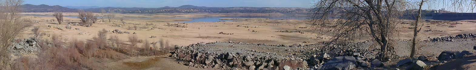
Lake elevation has gone below the rim elevation 22 times since 1900.
Click and drag across the graph to zoom.
Roll over graph lines for specific values.
Click legend to toggle graph lines on and off.
The USGS has been measuring surface-water levels at Lake Tahoe since April 30, 1900. The lake's surface level varies from year-to-year. It can reach flood stage during wet years and fall below the natural rim during times of drought. The graph above shows historic lake elevation levels, in feet, against the backdrop of the natural rim elevation of the lake and the National Weather Service (NWS) Flood Stage. Data before October 1957 were collected monthly; data after were collected daily.
| Description | Elevation (ft) |
|---|---|
| Maximum legal limit (NWS flood stage) | 6,229.1 |
| Natural rim of lake | 6,223 |
| Gage Datum | 6,220 |
Note: Current lake elevation = 6,220 ft + Current gage height
Additional Resources:
USGS Streamgage Data: USGS 10337000 Lake Tahoe A Tahoe City CA
Live Webcam: Truckee River at Tahoe City, CA
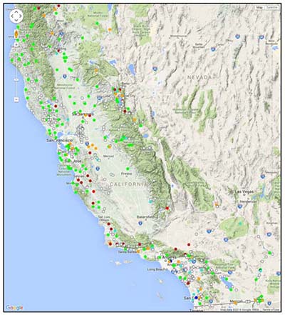
National Water Information System: California Map View
USGS Fact Sheet: Stream and Ground-Water Monitoring Program, Lake Tahoe Basin, Nevada and California
Data & Conditions
Current California Streamflow Conditions