Temecula Hydrogeology
Overview
The focus of this study is to advance knowledge of the hydrologic system in the upper basin of the Santa Margarita Watershed. Much of this knowledge will be gained from development and calibration of a linked surface-water and ground-water flow model of the upper basin.
Primary objective is to develop a more complete understanding of the hydrogeologic system in the upper basin of the Santa Margarita Watershed as an aid in achieving an amicable resolution of the present water-rights controversy without resorting to expensive litigation encompassing both the surface-water and ground-water systems in the upper basin.
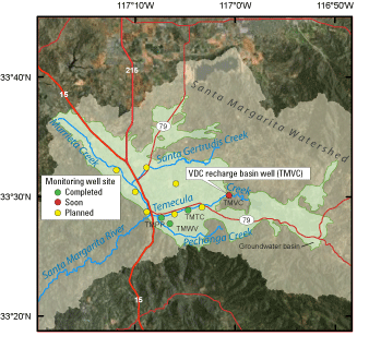
Installation of multiple-depth monitoring well site
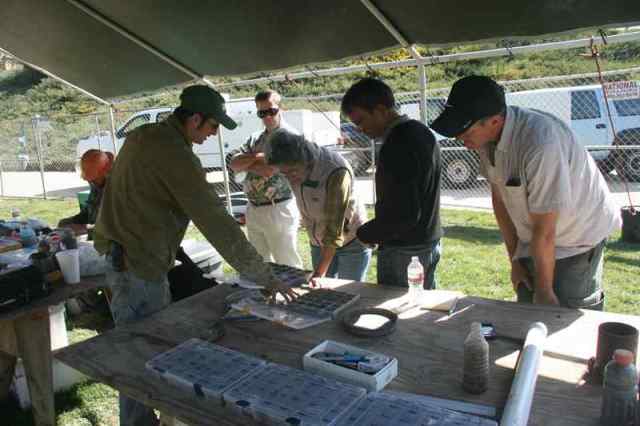
Multiple-depth monitoring wells provide critically important data to aid in understanding complex hydrogeology, such as that found in the Temecula area. A major element of the present USGS study is to install multiple-depth wells throughout the Temecula-Murrieta groundwater basin in order to map the subsurface geologic layers, to define water-quality differences with depth, and to provide longterm monitoring of groundwater levels. These data will aid local water agencies in optimal management of the basin.
The well will be about 1,000 feet deep, and will have six separate PVC piezometers, installed to selected depths. These piezometers will be monitored for groundwater levels and sampled for groundwater quality. The well site will be a permanent installation and will provide data for decades.
Past Topics
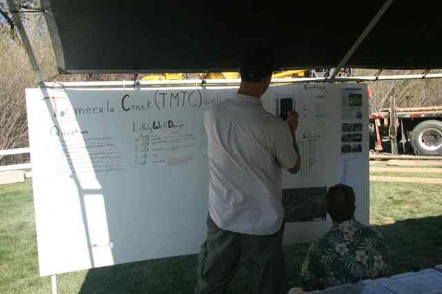
The USGS drilling crew has recently finished drilling a monitoring site in Temecula Creek Park (March 2013)
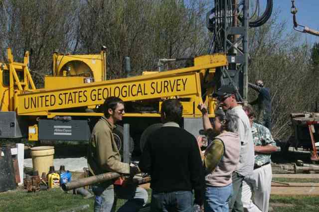
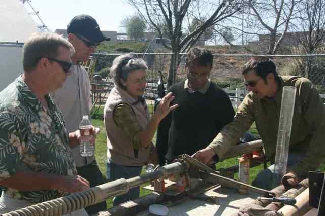
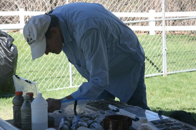
This new well is a multiple-depth monitoring site which has been installed with devices to measure and transmit data to a server. The process allows us to provide groundwater level data, collected at 15-minute intervals, to the public through our National Water Information System database.
Temecula Hydrogeology
Welcome to the U.S. Geological Survey (USGS) Temecula Hydrology website. This site provides hydrologic data collected or compiled by the USGS for the Temecula area; some additional data may be available from the USGS database National Water Information System (NWIS).
Project Chief: Wes Danskin
Phone: 619-225-6132
Email: wdanskin@usgs.gov
Questions about Temecula Hydrogeology? Please contact Wes Danskin (email: wdanskin@usgs.gov or send a letter). 619.225.6132