Documentation and Description of the Digital Spatial Data Base for the
Southern California Regional Aquifer-System Analysis Program, Santa
Clara-Calleguas Basin, Ventura County, California
By Steven K. Predmore, Kathryn M. Koczot, and Katherine S. Paybins
U.S. Geological Survey Open-File Report 96-629
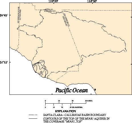
Figure 21. Elevation contours of the top of the Mugu aquifer.
The URL for this page is
http://ca.water.usgs.gov/rep/ofr96_629/fig21.html
If you have any questions or comments about this document contact: webmaster@maildcascr.wr.usgs.gov